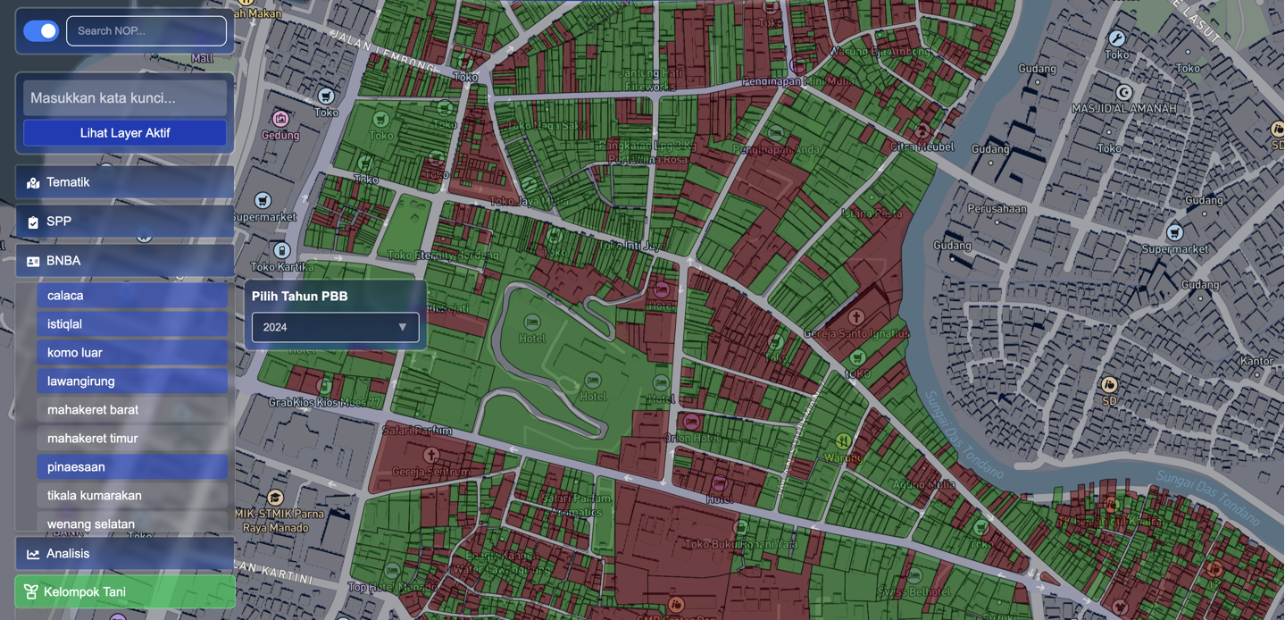
Interactive Risk Mapping
Visualize real-time geospatial data with our advanced mapping platform
Make faster, smarter decisions with real-time geospatial insights.
Harness the power of AI to predict, analyze, and respond to spatial risks in real-time.
Advanced machine learning algorithms analyze satellite imagery and sensor data to predict flood risks with 95% accuracy.
Seamlessly combine multiple data sources including satellite imagery, IoT sensors, and weather stations for comprehensive analysis.
Receive instant alerts and notifications when potential risks are detected, enabling proactive response and mitigation.
Visualize real-time geospatial data with our advanced mapping platform
Join thousands of organizations using Speramus to make data-driven decisions and mitigate risks.